Thursday Morning has the National Hurricane Center (NHC) tracking 2 systems in the Tropics, a depression and a Tropical Storm.
Activity in the Gulf of Mexico

This area of clouds an rain was the wave that brought us all the rain the last few days. It was classified as Tropical Depression 8, late Wednesday night. It may become Tropical Storm Hanna over the next 24 hours as it aims for the Texas Coastline. It should make landfall sometime on Saturday. A Tropical Storm Watch is in place for the area between Port Mansfield and High Island Texas.
Philip Klotzback of Colorado State University, says if this systems becomes a storm, it would be a record setter. The earliest 8th storm is "Harvey" from August 3, 2005.
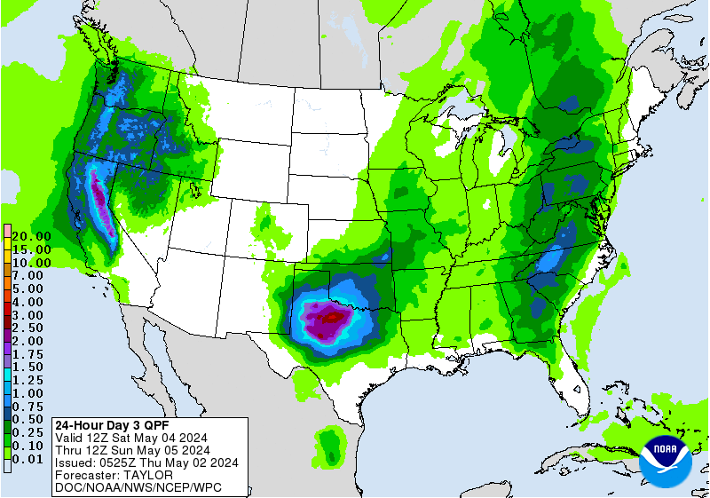
The biggest impact will be rain. Three to five inches are being forecast with some spots getting as much as eight. Localized flooding will be a concern
South Florida: The depression will pull moisture across the Bahamas, Cuba, and South Florida keeping us with a chance of on & off downpours through the weekend. Because the ground is saturated from recent rain, street flooding will be a concern.
Gonzalo

This system is hard to spot due to its small size, but it is that small blob of clouds southeast of the Windward Islands. While its size is not impressive, its tropical engine is. It is poised to become the first hurricane of the 2020 season. Per Brian McNoldy, Senior Researcher at UM's Rosenstiel School, over the last half century the average date for the first hurricane is August 15th. If Gonzalo were to reach hurricane status soon, it would beat the average by over 20 days.
Health Check:

Gonzalo is surrounded by Saharan Dust and dry air. You can see the brown dust sheen on the satellite picture. In spite of the stumbling block, it has managed to gain strength from feeding off warm water. Those strong 65 mph winds can only be found in one small area north of the center. They stretch out from the center 35 miles, shown in the orange highlight.
Where is it going?

High pressure will continue to push it west. This will keep it moving quickly between 10 & 15 mph through the weekend. Then a slower turn is expected once in the Eastern Caribbean Sea.
The intensity is not quite clear. It may get stronger over the next 2 days as it nears the Windward Islands. However, the European model shows a weakening trend. This type of forecast is made more difficult by the size of Gonzalo. Smaller systems are subject to large swings in strength.
What are the models suggesting?
There are two groups- - The first, made up of the European and Canadian models, shows a weaker system moving over the Windward Islands and falling apart in 5 days.
- The NCEP model however, provides a picture of a much stronger hurricane moving into the Eastern Caribbean Sea and possibly aiming for Dominican Republic and Haiti. The official forecast cone from NHC is a combination of these two trains of thought.
Present Concerns
Wherever Gonzalo goes, it is sure to provide strong gusty winds and plenty of rain. Initial forecasts call for 2 - 5 inches with spots up to 7, over Barbados and the Windwards Friday through Sunday. Trinidad and Tobago may see totals of 1 - 2 inches. These amounts will surely lead to the possibility of flooding, land and mudslides. Everyone in these areas should monitor messages from local governments.
For everyone else in the Caribbean, Bahamas and South Florida, we just need to monitor. It is still too far away with too many uncertainties.
We'll be watching
No comments:
Post a Comment