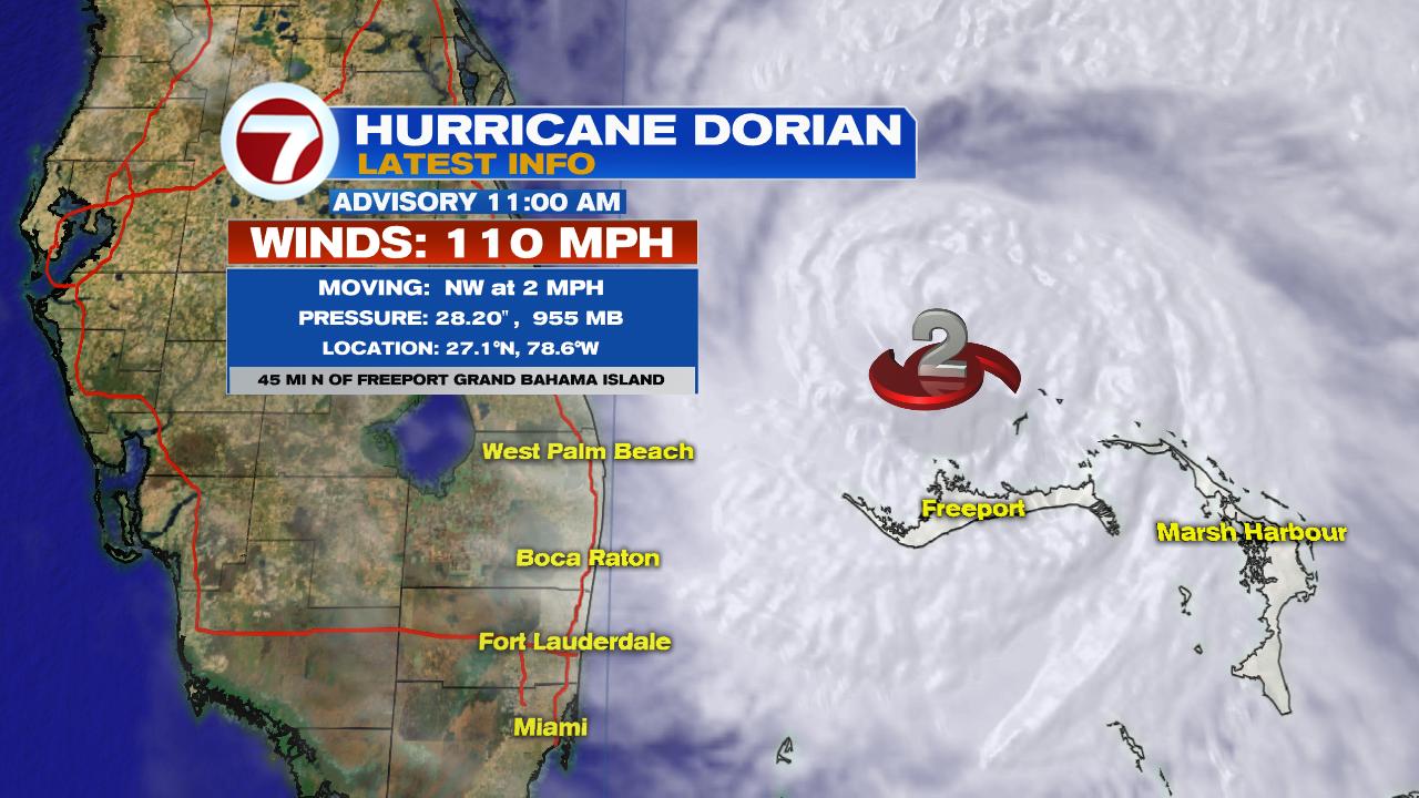
These are the two top questions asked regarding Dorian. Still a strong system impacting the NW Bahamas
This incredibly strong storm has been beating down Grand Bahama Island for over 24 hours. For a comparison, Andrew was a Cat 5 system that plowed over So. Miami Dade Co in only 3 hours.
What can make a hurricane stop?
As big and powerful as hurricanes can be, they do not move on their own. They need something else even bigger to push them along. For most systems in the Atlantic Basin it's the Bermuda High.
Lets go back in time to last Friday:
- The western edge of the Bermuda High was shoving Dorian WNW.
- There was a front with winds coming out of the SW, over the Southeastern USA. (These two things are also known as steering winds since they can steer the hurricane around).
- You could see the open road in the atmosphere that Dorian would travel. All models reflected this, including the dreaded cone of concern.
On Monday:
- The Bermuda high began to retreat away from Dorian, and the front faded away. This meant Dorian was left adrift. At first, the system slowed down all the way to a crawl until it eventually stopped moving at 5 pm Monday over Grand Bahama Island.
- Today, stronger upper level winds out of the Gulf, started to draw Dorian away from the Bahamas.
We've already seen the influence of those winds as Dorian has begun to move at 2 mph as of the 11 am Tuesday advisory. That speed should increase later today.
Stalling is very normal in hurricanes when they lose their steering currents. A recent example of a stalling system was hurricane Harvey. Harvey History Here
What can South FL expect:
Very little impacts as the system tracks NW:
- From time to time, we may get a line of heavy rain with very brief windy conditions, and then back to sunny.
- As of the 11am advisory Broward Co. is NO LONGER under a Tropical Storm Watch. Good news for us.
I thank you for all your questions. Here's to hoping we don't do this again.


No comments:
Post a Comment