The National Hurricane Center (NHC), is monitoring tropical storm Dorian roughly 500 miles east of Barbados and an area of low pressure a few hundred miles east of Jacksonville.

The satellite loop is centered over Haiti/Dom. Republic and Puerto Rico. You can see Florida and the Bahamas upper left. Cuba, The Cayman Islands, and Jamaica left Center. The Lesser Antilles to the right, and South America at bottom.
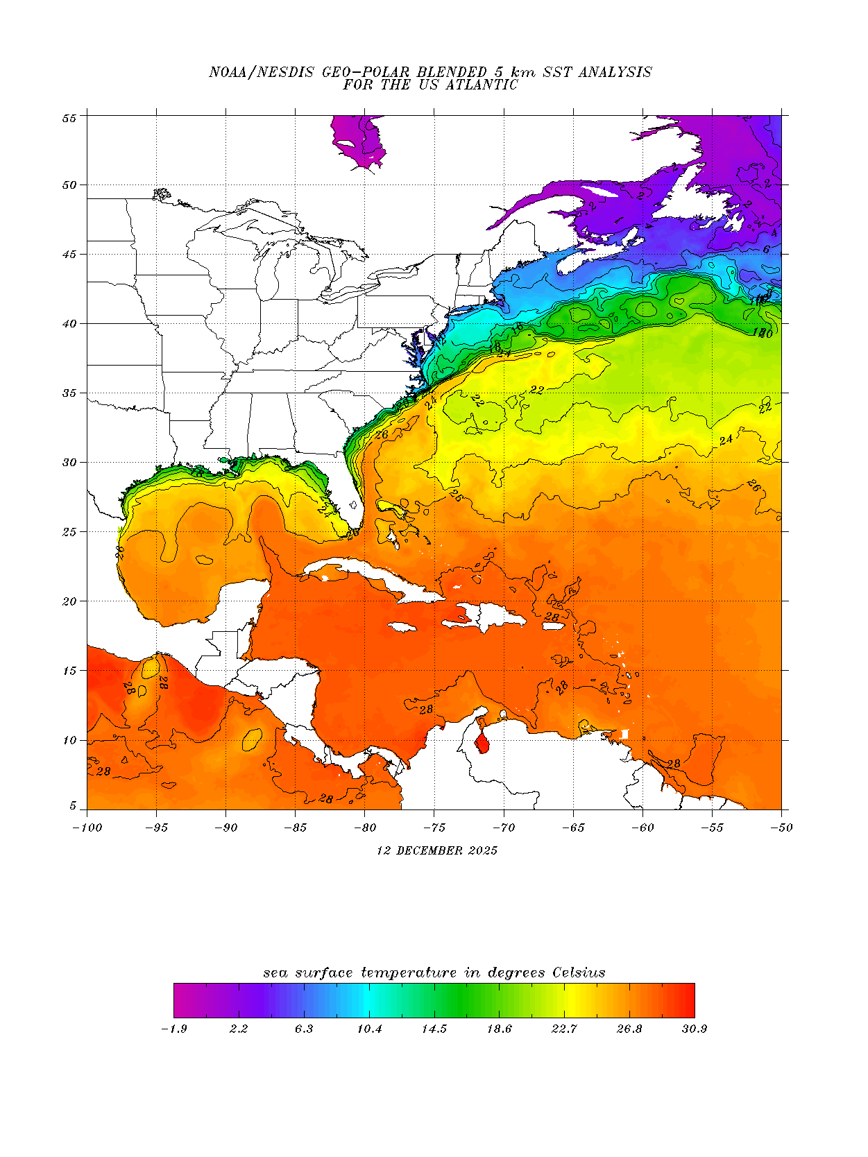
Tropical Storm Dorian is the swirl moving into the picture from the right. The Low next to Florida is the spin to the east of Jacksonville.
Morning Update
- As of Sunday morning, Dorian maintains its westerly direction
- Thunderstorm activity is the same as on Saturday
- So far no further strengthening
- Winds over 39 mph stretch out from the center about 25 miles.
- It's forward speed is between 10 - 15 mph
- At this rate it should be near the Central Lesser Antilles early next week.
- A recon mission is scheduled for later today
Places with storm warnings
- Tropical Storm Warning for Barbados
- Tropical Storm Watch for St. Lucia, St. Vincent & the Grenadines
Where is it headed?

This is the official forecast cone from NHC. There is a small change, as it now has a more westerly track than a mere 24 hours ago through the short term into the Windward Islands. It also keeps the system as a storm through the Lesser Antilles.
Models

Models are very much clustered along the same route as the NHC cone. However they note that the forecast track may change later today to an even more northwesterly shift in the forecast.
The impacts across the Lesser Antilles are expected to be:
Rain: It has the potential to drop 2 - 4 inches with some spotty areas seeing as much as 6 inches
Some low areas may get standing water
By early next week, large swell should be arriving causing life threatening surf & rip currents
How strong may it get?
Intensity forecasting is not as accurate a science as the forecast track.We look for two things; how warm / cold the water may be, and are there any other systems surrounding Dorian that could impact its health.
Water temps:
Shear

This is the term used to describe strong winds in the upper levels of the atmosphere. They can help cut down the developing cloud tops of thunderstorms inside Dorian.
On the image above, find the tropical storm icon, and that is the location of Dorian. Notice the yellow green area just to its left. That is shear. It's on the weak side at the moment, but strong enough to nag the system and hopefully keep it from reaching hurricane status as it moves over the islands. It will have a window to grow into a hurricane once in the Eastern Caribbean.
Shear Forecast

By Wed/Thu , Dorian should be somewhere in the circle over Dominican Republic. The shear there is forecast to get stronger due to an area of low pressure also in the upper levels of the atmosphere. This should weaken the system. Also, if it does unfortunately impact Puerto Rico, the Dominican Republic or Haiti, it could lose strength even further. Any brush with larger land masses will interrupt its life cycle, specially over Dominican Republic which has the largest mountain peak in all of the Caribbean, Pico Duarte. This could act as a huge wall weakening Dorian further. The down side to this, will be the possibility of heavy rain across Haiti and Dom. Republic which will lead to flooding, land and mudslides. This weakening is reflected in the latest cone showing Dorian down to Depression level as it leaves Haiti/Dom. Republic.
Need to monitor
Since the strength and future track past Hispaniola is still uncertain, all areas from Jamaica, Cuba, the Bahamas and South Florida, should monitor the progress of the system. While the worry factor is not low, we should keep an eye on it.This is the perfect time to review your plans and supplies just in case Dorian decides to schedule an unwanted visit.
Western Atlantic Low

The low pressure system that dumped rain across South Florida on Saturday has now quickly moved into the western Atlantic east of Jacksonville. It has an 80% chance of becoming a storm over the next 5 days in the area highlighted in red. It appears it will be a worry for the shipping lanes only.
We'll be watching
No comments:
Post a Comment