This weekend will see South Florida flirting with record heat, only to be cooled by possible strong storms.
Satellite View

On this screen grab, you see a line of clouds by Eastern Cuba and out into the Atlantic. This is a dying front moving away. Then there is a huge canopy of clouds over Florida and the Southeastern US. This is due to a low pressure system.
Surface Map
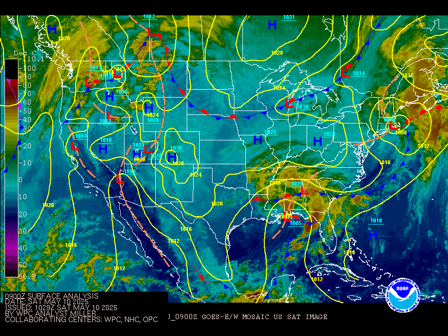
On this map the low is sitting over Mississippi with winds flowing out of the Gulf of Mexico. Not seen, but very much a huge player, is high pressure in the Western Atlantic. Both of these features are dragging tropical heat and humidity from the Gulf of Mexico towards South Florida and the NW Bahamas.
How Hot?

We could be flirting with record heat from Key West north to Ft. Lauderdale. The heat index could well top off between 100 and 110 degrees.
What is the heat index?
When the humidity is really high, your sweat cannot evaporate off your skin and cool you down. This lack of evaporation makes the temps feel hotter than they really are. This is your Heat Index or Feels Like temps.
Radar

With all the heat around, and with plenty of moisture coming off the Gulf, this combo is part of the recipe for rain. We should see it both days. Model runs are shifting back and forth on which day will be the wettest. Yesterday they were hinting at Sunday, today hints at this afternoon. Nonetheless, storms will be around, some strong, for the weekend.
Remember, if you hear thunder, it means lightning is very close to you. Head indoors right away and avoid being struck.
We'll keep watching.
No comments:
Post a Comment