The track of Eta has it moving towards South Florida. It's forecast to make a turn west, but it will be a matter of timing whether South Florida sees a direct impact.

- The center of Eta is back over the warm waters of the Caribbean Sea
- Plenty of rain across Belize and parts of the Yucatan Peninsula
- It is now forecast to restrengthen
The system will continue to drench parts of Central America until it makes its way to Cuba by the weekend. The Cayman Islands are now under storm advisories as the system should track in their direction.
What Next?

Eta should become a Tropical Storm later today as it soaks up all the fuel from warm Caribbean waters. As it nears Cuba, it will run into high pressure sitting in the Western Atlantic. It will bounce off it and be sent west. When that bounce happens, will dictate when it makes the turn into the Gulf of Mexico.
Its intensity should remain in check. There are some strong upper level winds across Cuba that should keep Eta from gaining too much strength. But keep an eye on it. This year many systems have intensified just before landfall. In any case, some tropical Storm watches/warnings may be issued as the system approaches South Florida.
Presently there is a Wind Advisory in place for Broward County from the Beaches west to I-95 and the same for Miami Dade Co, extending to the Turnpike in Southern Miami Dade. This runs thru Saturday at which time it may get replaced by tropical advisories.
A Rain Event
The biggest concern with Eta will be the amount of rain it could drop. Expecting:
- Cayman Islands: 10" - 20" inches with some areas as much as 30"
- Jamaica: 2" - 5" with up to 15" in spots
- The Bahamas & South Florida: 5" - 10" with up to 15" possible along the East Coast
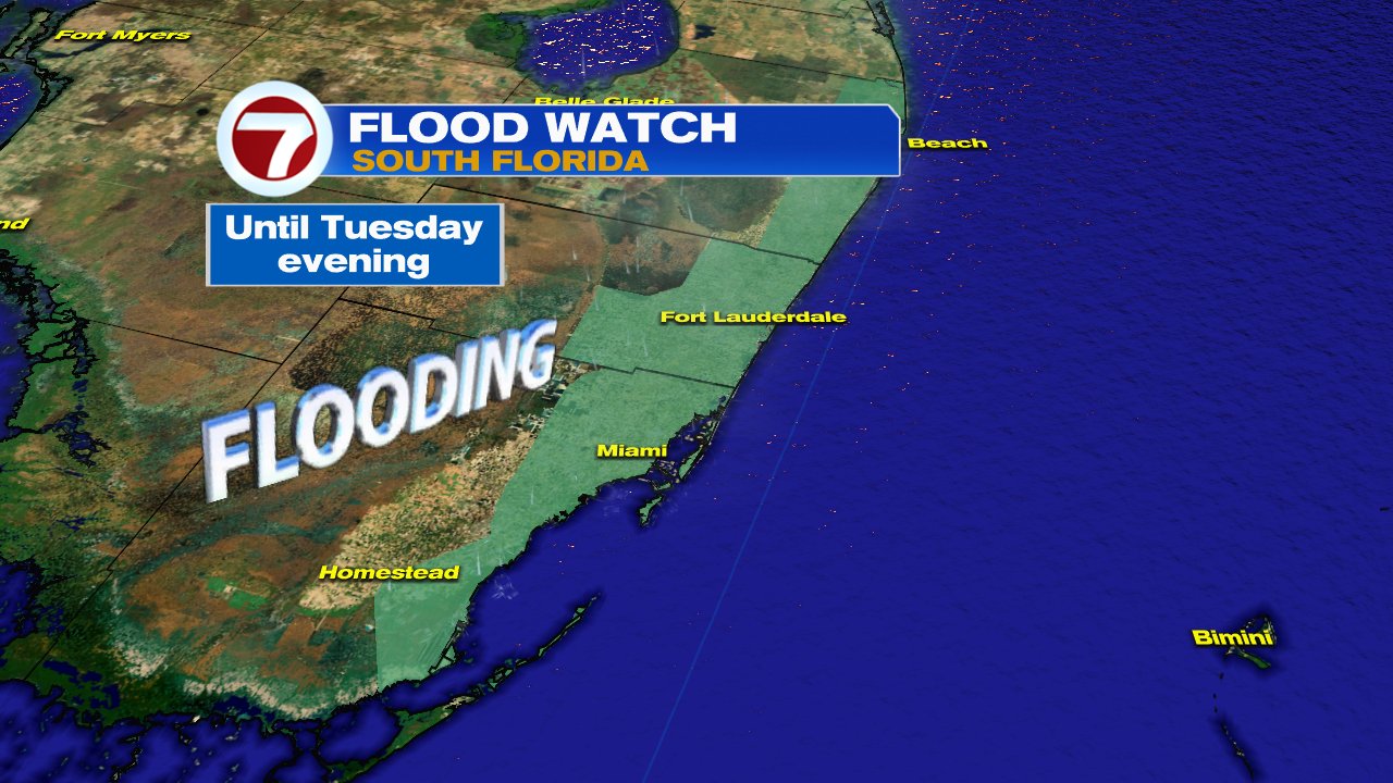
Any additional rainfall over already waterlogged South Florida will lead to flooding. The National Weather Service has issued a Flood Watch for Metropolitan Broward & Miami-Dade thru next week.
Bottom line:
There's a tropical system moving our way. It may get bounced into the Gulf of Mexico, just unsure as to when it will happen. Even with no direct impact, heavy rain is forecast to move over South Florida. The radar below is live to help you keep track of the rain.

We'll be watching
No comments:
Post a Comment